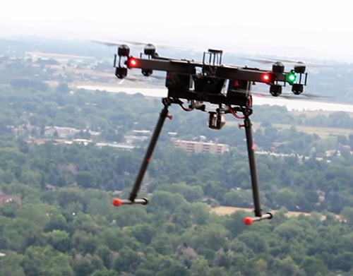
Advanced aerial data collection using drone technology for mapping, inspection, and high-precision geospatial analysis.
RGB Videography uses high-resolution drone cameras to capture detailed aerial visuals of sites, infrastructure, and ongoing projects.
It is widely used for project monitoring, inspection, and visual documentation, providing clear insights from an aerial perspective.
Photogrammetry Survey uses aerial images captured by drones to create accurate maps, measurements, and 3D models for analysis and planning.
Generate detailed maps using aerial imagery.
Build accurate 3D models for analysis and visualization.
Measure stockpiles, excavation, and material volumes.
Quick data collection and processing for efficient workflows.
Thermal Imaging Survey uses infrared cameras mounted on drones to detect temperature variations, helping identify hidden issues in structures and systems.
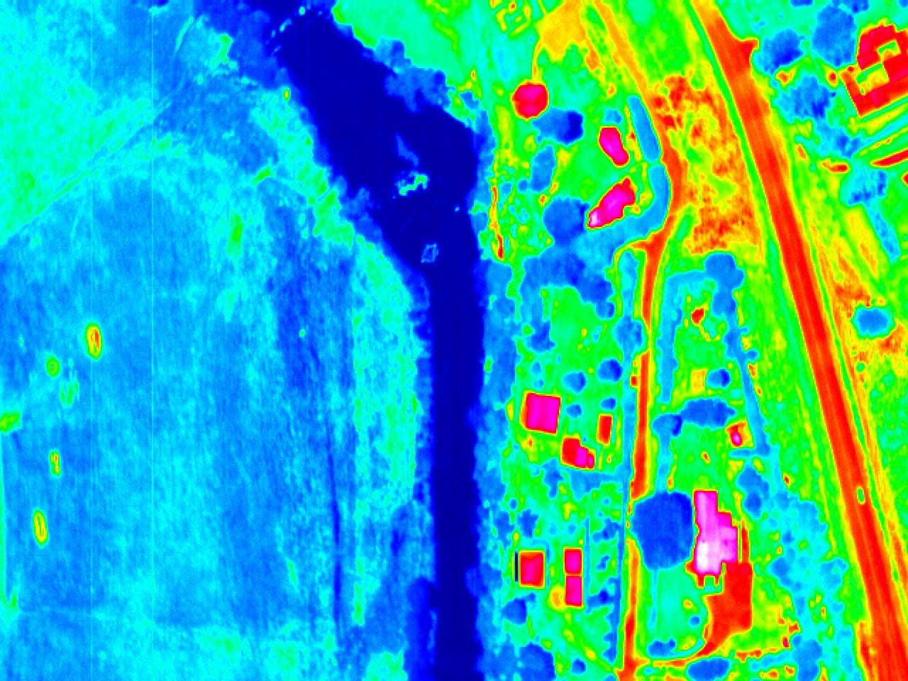
Identifies insulation issues and energy loss areas.
Detects overheating components in electrical systems.
Finds hidden water leaks and moisture intrusion.
Helps identify problems before major failures occur.
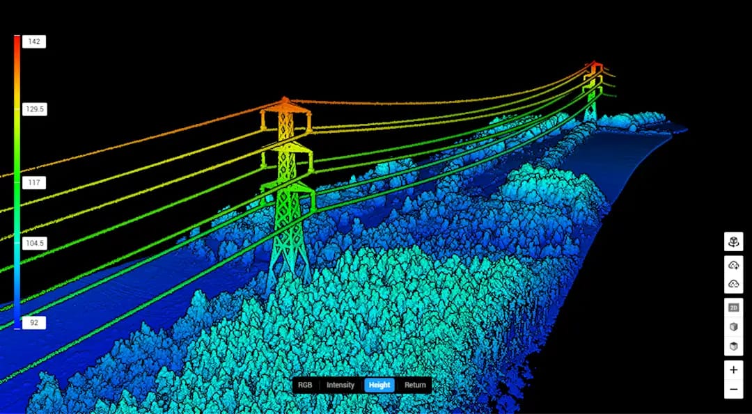
LiDAR (Light Detection and Ranging) Survey uses laser scanning technology mounted on drones to generate highly accurate 3D models and terrain data.
It is ideal for large-scale mapping, infrastructure planning, and complex terrain analysis where precision and speed are critical.