High-precision survey solutions using advanced equipment including GPR, DGPS, Total Station, and GIS for infrastructure and construction projects.
GIS Survey involves the collection, analysis, and visualization of spatial data to support planning, design, and decision-making processes.
We provide advanced GIS solutions for infrastructure projects, enabling accurate mapping, data integration, and efficient resource management.
Advanced mapping and analysis for informed project decisions.
Creation of accurate and interactive geospatial maps.
Combining multiple data sources into a unified system.
Supports urban planning, infrastructure, and environmental studies.
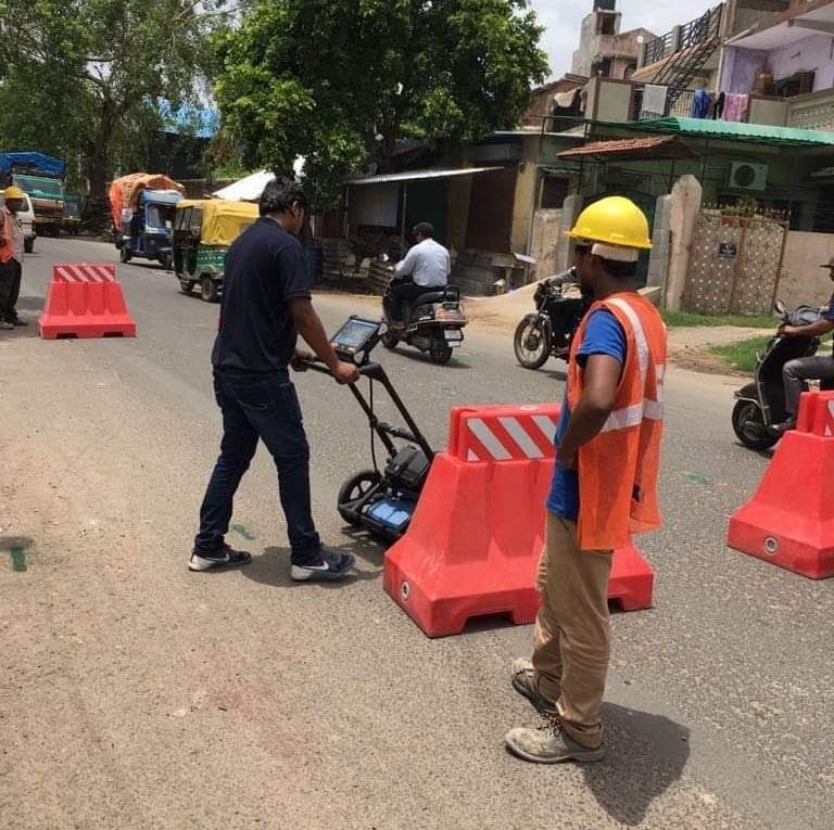
Ground Penetrating Radar (GPR) is a non-destructive geophysical method used to detect and map underground utilities, voids, and structures. It provides accurate subsurface information without excavation.
Our GPR surveys help identify pipelines, cables, foundations, and hidden anomalies, ensuring safe excavation and efficient project planning.
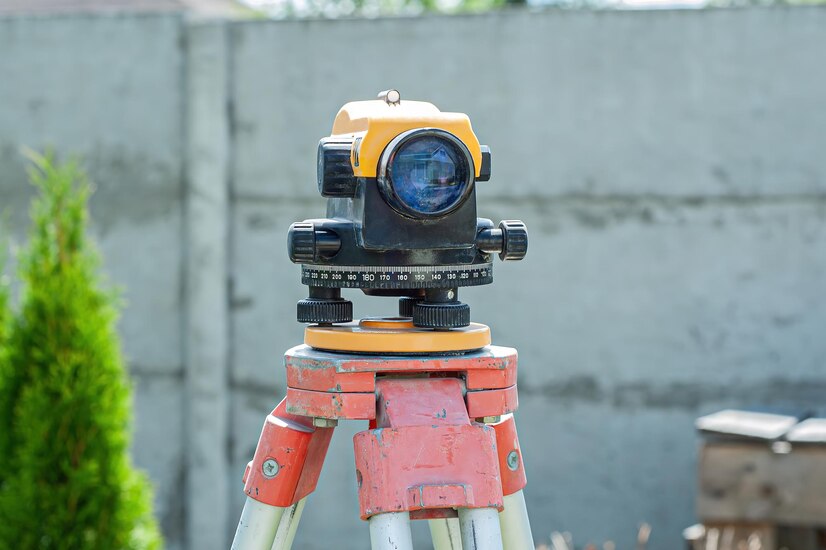
Total Station Survey is a highly accurate method used for measuring distances, angles, and elevations in construction and infrastructure projects. It combines electronic theodolite and distance measurement for precise data collection.
Our Total Station surveys support site layout, boundary marking, and detailed topographic mapping, ensuring accuracy at every stage of your project.
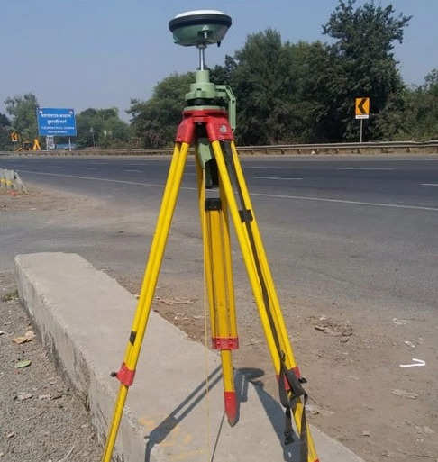
DGPS Survey provides highly accurate positioning data using satellite-based systems, ensuring precise mapping and geospatial measurements.
Centimeter-level accuracy for mapping and surveying applications.
Uses GPS corrections for improved location precision.
Ideal for highways, pipelines, and large infrastructure projects.
Efficient surveying with reduced time and higher productivity.